
Cedar River Rising In Cedar Falls
The Cedar River at Cedar Falls is rising slightly, due to the combination of spring snow melt and recent rain. Although no flood advisory has been issued by the National Weather Service, the higher water is causing some concern.
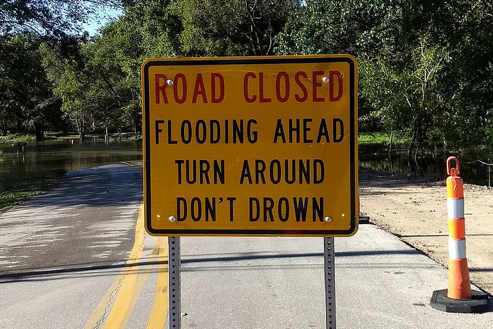
In a press release, city officials said the river is projected to hit the 89-foot flood level on Wednesday. At that stage, water would likely cover the recreational trail at George Wyth State Park and a portion of Cottage Row Road in the North Cedar neighborhood. City spokeswoman Amanda Huisman said city staff will close the bike trail and Cottage Row Road if the water reaches the expected mark.
According to Huisman, city officials will continue monitoring the river levels and provide updated information as needed. Residents can also check the city's flood information webpage for updates. The website provides a link to monitor river levels and current projections.
In addition to the webpage, the City of Cedar Falls also offers brochures that include information on what to do to prepare for a flood and what streets may be affected. The brochures can be picked up at City Hall.
For more information, contact Cedar Falls City Hall at 319-273-8600.

More From Q98.5